
Mukilteo Neighbor Record Sources
No official tool produces a complete list of Mukilteo neighbors. Instead, map the immediate parcels and check each record on its own terms. The parcel roll can identify an owner or taxpayer. A deed can confirm a transfer. Voter data can show approved registration fields, while association pages show public contacts and meeting details. None of those sources proves every person who is present in a home.
| Source | What It Shows About a Block | Access |
|---|---|---|
| SCOPI and Assessor | Parcel shape, situs, owner or taxpayer, mailing address, value, and legal description | Public map and account; note result date |
| Mukilteo Power User Map | City parcels, zoning, permits, historic imagery, and municipal context | Public GIS with illustrative-data warning |
| Recorder index | Historical owners, liens, plats, and legal descriptions on nearby parcels | Mostly online since July 1976; older microfilm |
| Secretary of State voter extract | Approved street, ZIP, precinct, district, status, and registration fields | Request and use terms; protected records withheld |
| SmartGov | Permit, address, and work-history leads | Public query; exact earliest coverage not stated |
| HOA and civic pages | Boards, meetings, events, and public group contacts | Public pages; no member rosters located |
Use the source that matches the question. A taxpayer name is a clue about title or tax responsibility, not a current occupant list. Mailing and situs addresses can differ. If the aim is the entire named street rather than the lots touching one parcel, use the Mukilteo street directory workflow instead.
Click Around Mukilteo Neighbor Parcels
Start in Snohomish County Online Property Information, known as SCOPI. Locate the target parcel, note its shape and legal description, then pan or click every adjoining polygon. Include corner parcels and lots across alleys or roads when they are part of the practical block. The official materials reviewed did not show a radius export or automatic neighbors list, so the clean result is a dated parcel inventory.
For each nearby lot, record the parcel ID, situs address, owner or taxpayer, public mailing address, legal description, and map date. When no street address appears, follow the parcel link and legal description. Do not copy the number from the nearest mailbox. A condominium may have a parent parcel on the map and separate unit accounts. Parks, schools, and utility parcels may name an institution instead of a household.
Shared drives and waterfront edges need the same care. An access lane may touch several lots without making them one household, and a shoreline boundary may look different at another map scale. Write those conditions as geography notes. They help another researcher repeat the parcel selection without mistaking physical closeness for a personal relationship.
Note: Roads, plats, and tax parcels define different boundaries, so describe exactly which adjacent lots were included in a Mukilteo block search.
Map Mukilteo Neighbor Owners
Move from geography to names one parcel at a time. The county property account can display owner and taxpayer names, a mailing address, land and building facts, transfer history, and links to sales or maps. It does not guarantee that the owner occupies the site. Compare the mailing address with the situs address, then label the result as owner information rather than a claim about who lives there.
- Search the address in SCOPI and save the map date, parcel number, and legal description.
- Click each adjoining parcel, including corner and alley relationships that fit the chosen block.
- Open each county account and record the owner or taxpayer, situs, and public mailing address as separate fields.
- Check a transfer in the Recorder index when title matters. Use the parcel ID or legal description to avoid a same-name error.
- Add a source date and state which parcels were excluded, such as a park, parent condominium tract, or road parcel.
The account and deed together can support an ownership statement. They still cannot supply a full list of your neighbors. A trust, business, public body, or owner with a different mailing address may hold title.
Mukilteo Neighbor GIS Context
The City of Mukilteo Maps and GIS hub links the Power User Map, zoning, permits, annexation history, and historic imagery. It helps explain what surrounds the parcel and whether a present city label fits the date under study. Annexation classes include 1947, 1965, 1968, 1980, 1991, and 2025. Historic image links span 1941 through 2021.
The city's GIS page pictured below is useful for choosing the right local layer before checking the county account.
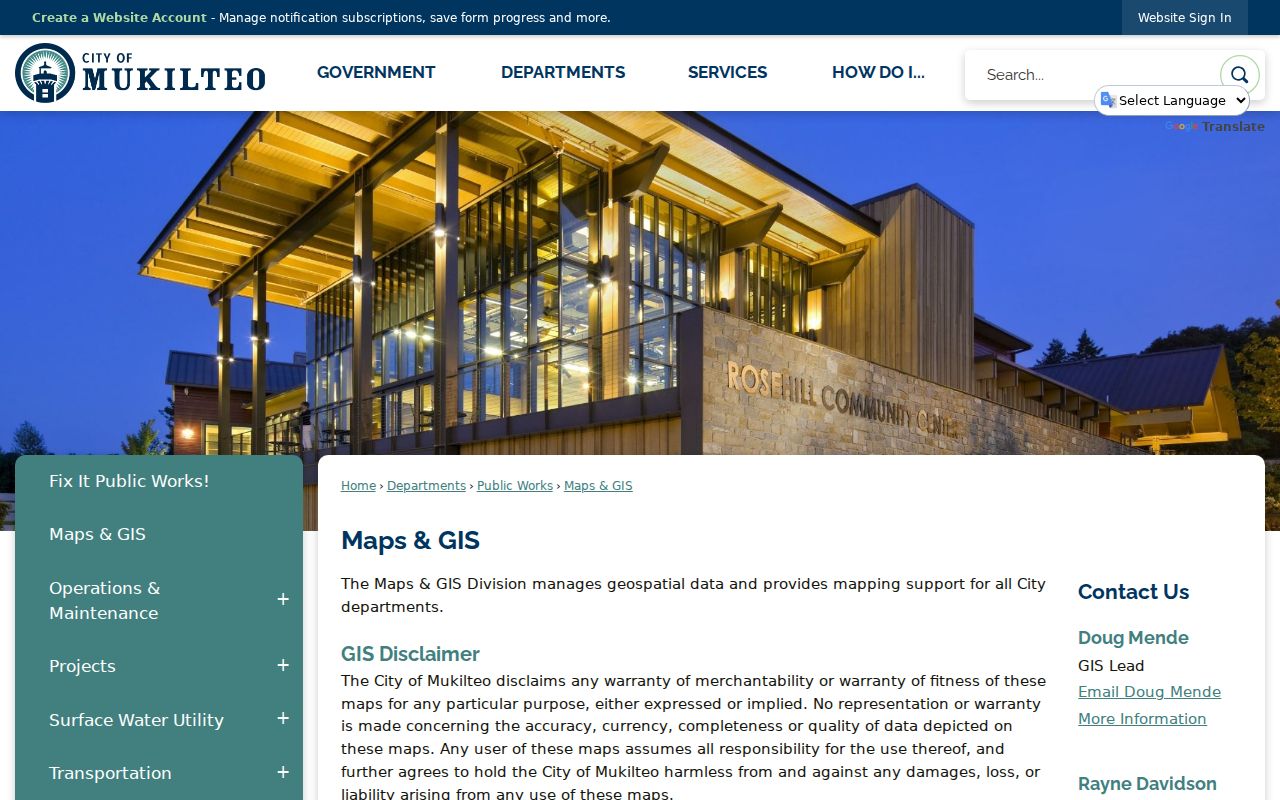
City layers give zoning, work, and time context, not proof of a household. The site also warns that mapped data is illustrative. Confirm parcel ownership through county records and permit details through SmartGov or the City Clerk.
Historic imagery can prevent a false match. A lot shown as open land in one image may hold a later subdivision, road, or condominium complex. Compare the image date with the permit date and current parcel outline. If an annexation line crosses the area, search both city and county custodians for that period. This check matters where a present Mukilteo label does not describe the same municipal setting in an older record.
Mukilteo Neighbor Voter Limits
VoteWA checks one voter using first name, last name, and date of birth. It is not a street roster. A larger block analysis requires an approved Washington voter-registration database extract from the Secretary of State. That CSV can include registration street and unit fields, city, ZIP, precinct, legislative and congressional districts, registration date, last-voted date, and status code.
Washington does not register voters by party, and no public field reveals a ballot choice. Full birth dates, driver-license or identification data, Social Security information, and original forms stay private. Address Confidentiality Program and other protected records may be omitted or use a substitute address. The extract terms bar commercial solicitation and harassment, and the requester must protect the file.
What a voter match means. It confirms approved registration data at a point in time. It does not prove household ties or show every resident at that address.
Mukilteo Neighborhood Contacts
Community pages are useful when the goal is a board contact, meeting, or event. They are not directories of Mukilteo neighbors. Three Harbour Pointe-area associations publish different amounts of public context while keeping member details private.
Waterford Park HOA
The public page names three directors, quarterly board meetings, an annual meeting, and board@waterfordparkmukilteo.org. No resident roster was located.
Saratoga Reach
Saratoga Reach and Harbour Highlands reports a 1987 founding and about 180 homes. Its board contact form is public, but its members are not listed.
Sector 12 HOA
One Club House Lane Sector 12 describes 176 homes around golf holes 10 through 13. Board and meeting details are public; emergency contacts are confidential.
The Waterford Park board page shows the kind of public contact an association may provide.
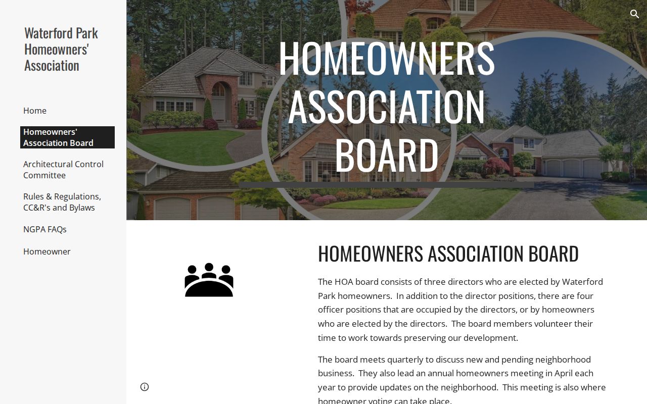
Contact a board about its public process, not for a private member list. Lighthouse Festival, grant-supported groups, and Adopt-a-Street organizations likewise publish civic contacts rather than household rolls.
Mukilteo Neighbor Permit Records
A SmartGov result can attach a project, application, or status to a nearby address. A recorded deed can name parties to title. Neither record proves that an applicant, contractor, grantor, or grantee lived on that parcel. Use permits to understand physical work and deeds to understand legal interests, then keep the role beside every name.
For older instruments, the Snohomish County Recorder's web index covers most documents from July 1976 forward. Earlier material is available through microfilm, public terminals, or staff assistance. The block method does not require a full chain for every lot. Follow the deed only when a current owner needs confirmation or a subdivision and plat explain the parcel pattern.
Compare Mukilteo Neighbor Tools
Official records and commercial neighbor tools are built for different purposes. A commercial service may merge old addresses, marketing files, and inferred relatives. Its convenient list can be stale or combine two people. Official sources are narrower but identify their custodian, field meaning, and record date.
| Method | Best use | Main limit |
|---|---|---|
| Official parcel and deed records | Map adjoining land and verify title | Owner is not always occupant |
| Official voter extract | Lawful analysis of approved registration fields | Protected and nonvoter residents are absent |
| Community group page | Find a public board, meeting, or event contact | Not a member or resident directory |
| Commercial compiled data | Generate an unverified lead | May be stale, merged, inferred, or opted out elsewhere |
Date the official record and keep the result small. A whole voter file or copied commercial profile is not needed to understand the parcels beside one Mukilteo address.
Respect Mukilteo Neighbor Privacy
A neighbor lookup cannot show every guest, child, occupant, utility customer, or delivery recipient. Washington's Address Confidentiality Program can shield an eligible participant's actual address, county, precinct, and identifying home information. Other protected voter and marriage options also limit disclosure. A blank or substitute result must not be filled with a guess.
When safety or welfare is the concern, contact the proper city or police channel instead of building a dossier from nearby parcels. Store only the few record fields needed for the lawful purpose. Keep a citation or record number, note the date, and remove stale working copies. Public access to one field does not grant permission to republish a block list.
Lawful use. Use Mukilteo block records for civic curiosity, reconnecting, or personal safety awareness. Never use them to watch, harass, intimidate, solicit, or harm your neighbors.